Tuesday, October 10, 2006

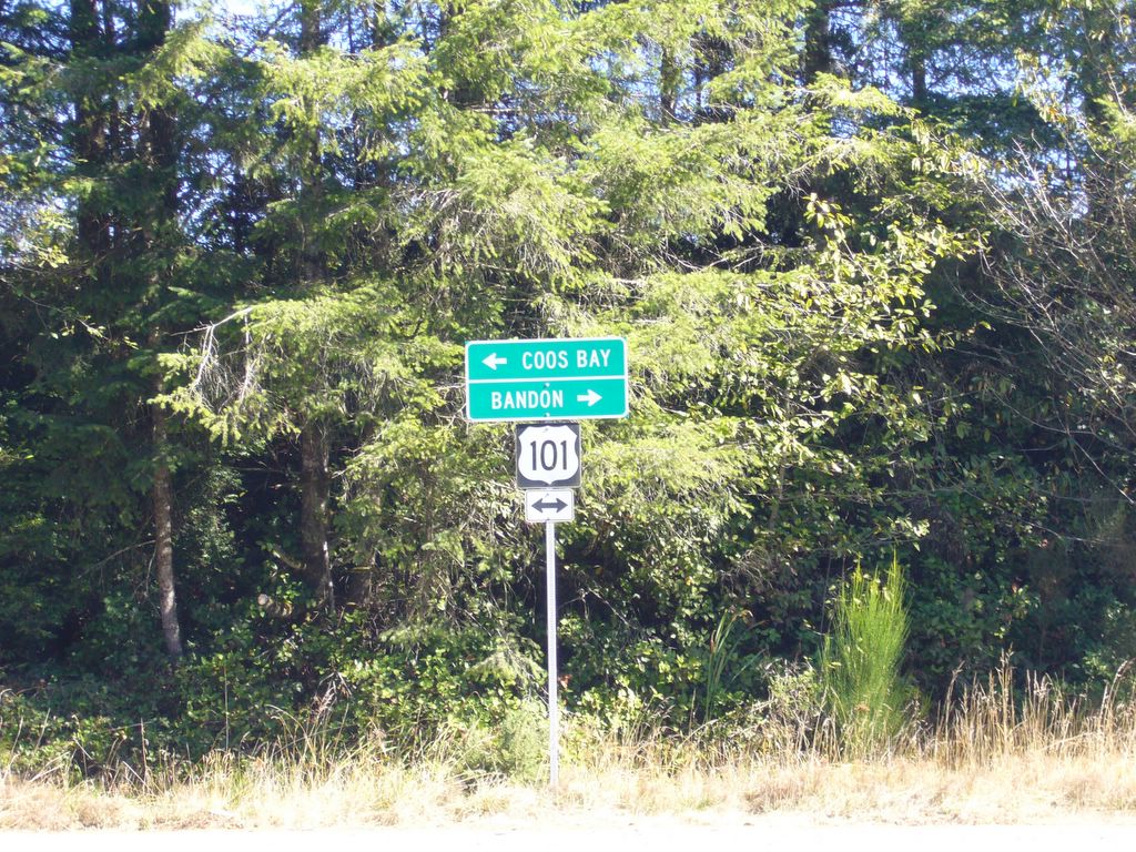
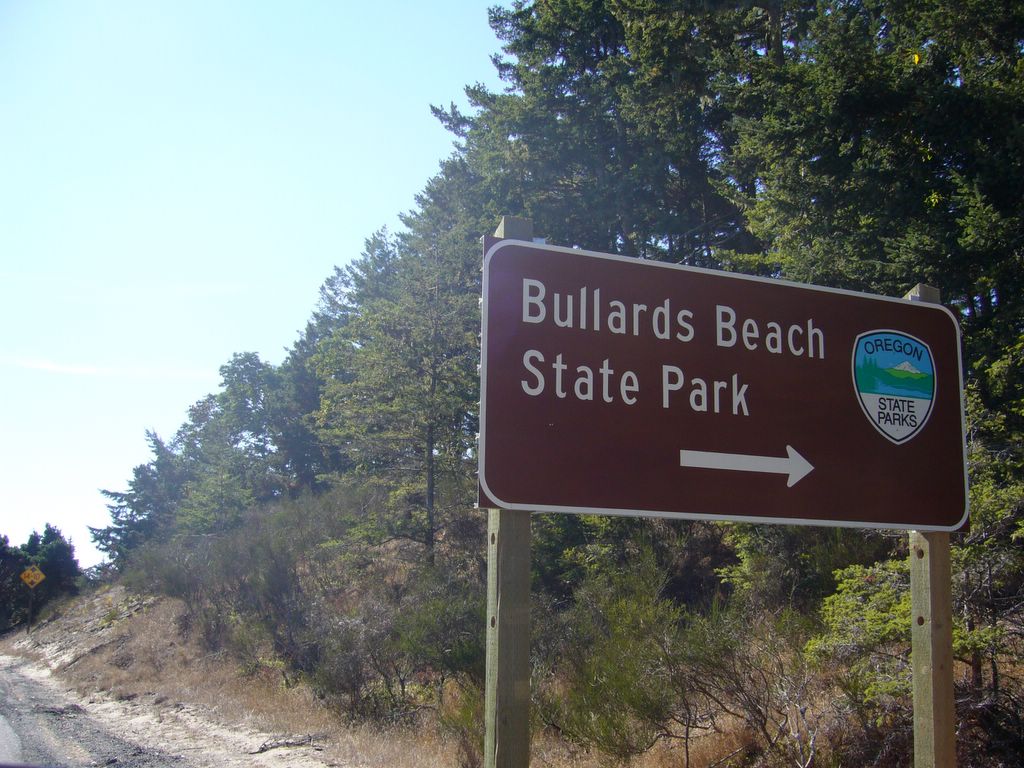
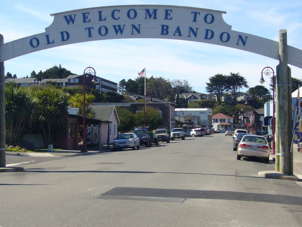
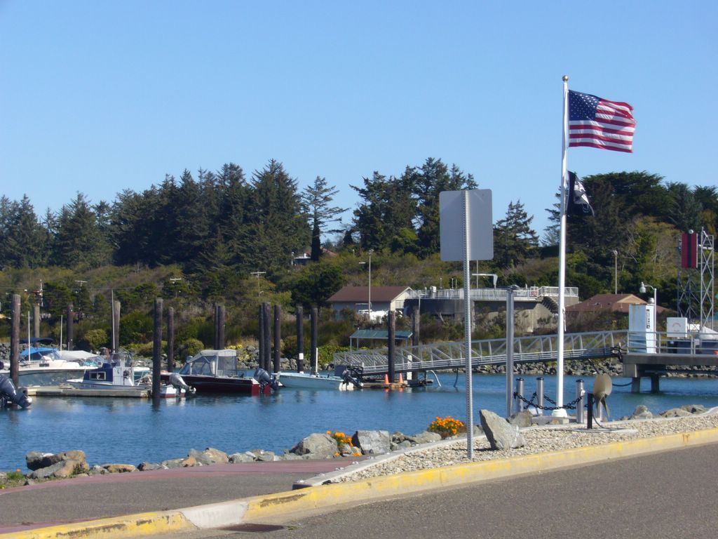
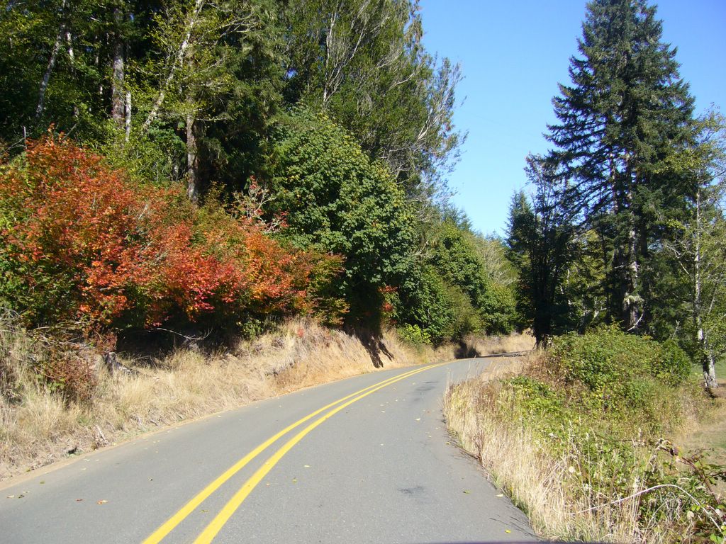
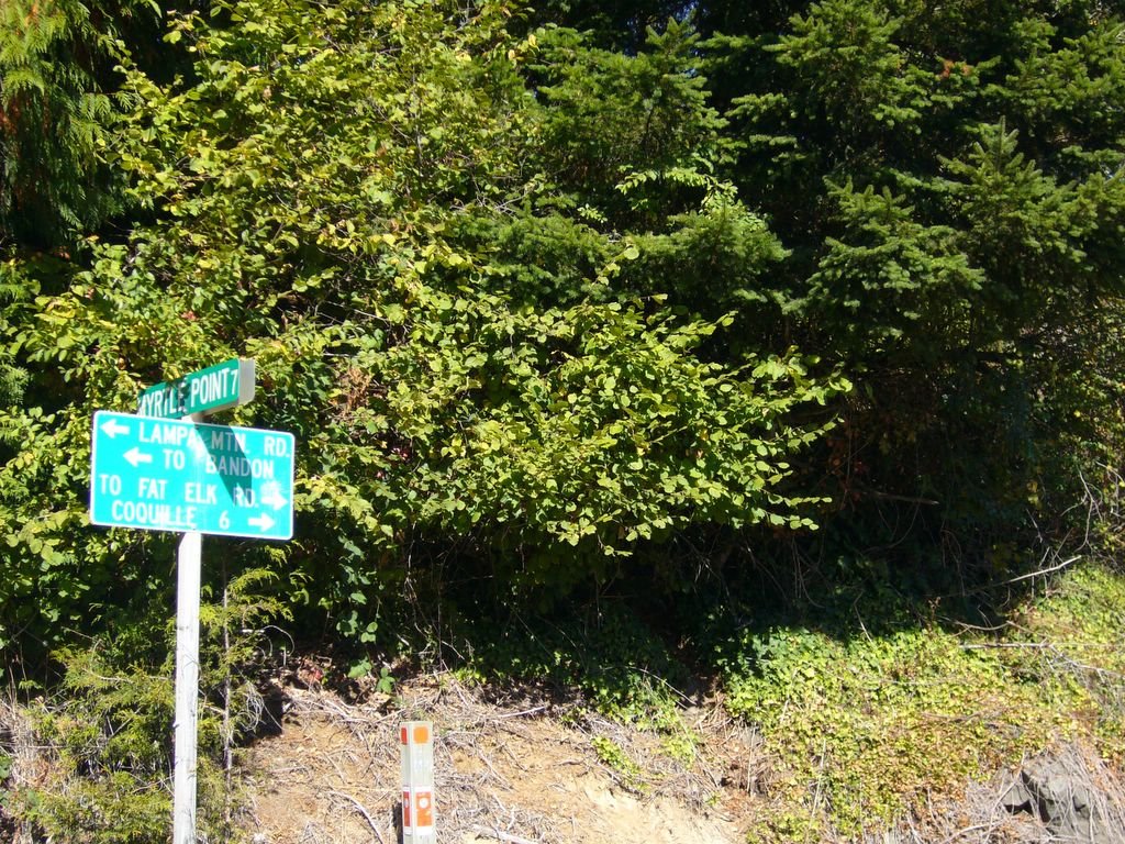
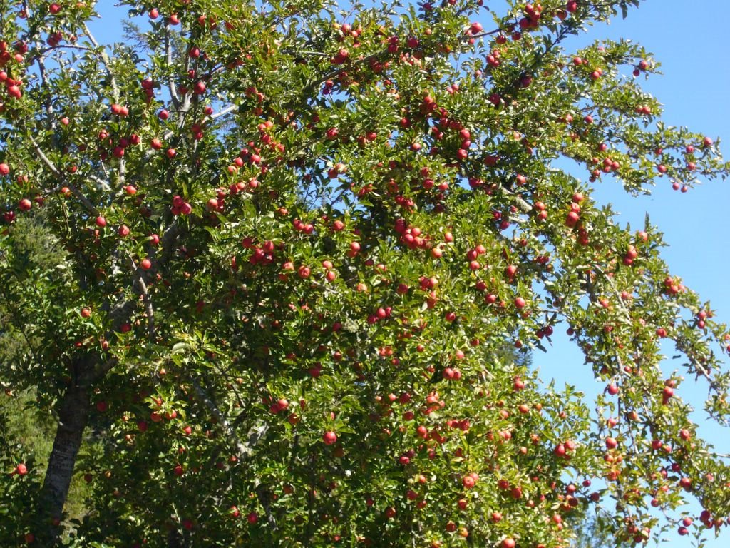
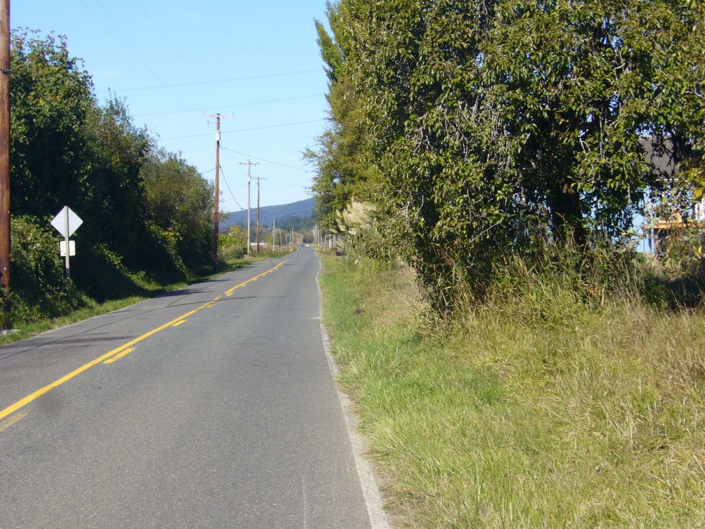
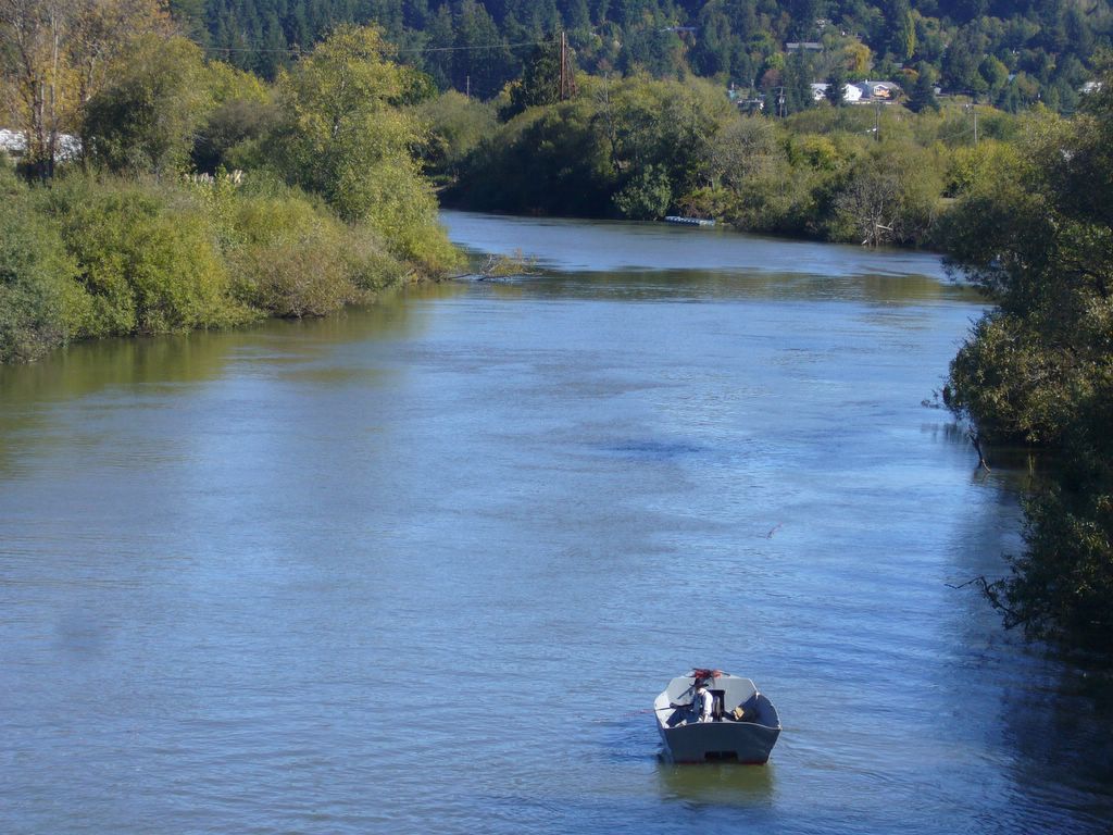
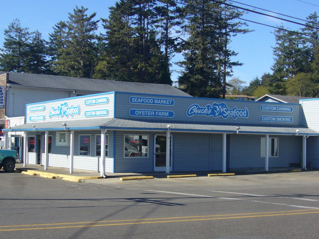
This was not meant to be the first picture of the blog, the next one will start the ride. I stopped for gas near where I'm standing at Davey Jones Locker. It has a great greasy Deli with a good variety of fast things to eat. I took a picture of it as well as Chuck's Seafood, but it was missing on the camera. Could it have been the Cheese, Potato and Jalapeno balls? Probably. Please move on to the the next picture, they actually are in order from there for the whole ride. Please don't forget that you can click on a picture to make it larger with more detail.
This will probably house most of those coming to the rally. There are other motels out here in Charleston, and about a dozen good ones back in Coos Bay, 6 miles away. We are also a block from the Beach House here and within walking distance of several Lounges and Restaurants. We'll start all the rides from this parking lot. I'll try to make a blog of most of them so you can choose which one or ones you may want to make. They are always subject to change. Shortest ride will be about 20 miles around the local area, the longest will be about 180 miles and will take most of a day. This one is approximately 65 miles long and will take 3 to 4 hours with stops for pictures and lunch somewhere. Or, you can make it on your own easily in about 1.5 hours.
As you turn left out of the Motel, this is what you see. There are places to eat and places to buy things in here. There is a very "Glitzy" shop that has a lot of fancy ladies clothes and some very nice souveneirs too.
This is about a block from the motels where most people will be staying. You can bring the fish you catch here to be cleaned. They also sell seafood to eat here if you want something. It's cooked outside in large steam cookers.
As we are leaving Chareston this willl be on your left. This is less than a half mile from Capt. John's and the Beach House.
.2 miles from Capt. John's is this restaurant and bakery. We won't be stopping here on the ride, but it's part of the Charleston scene.
Mile .5. A half mile south on Cape Arago Highway, we'll make a left turn at this intersection down 7 Devils road. We'll be on a good 2 lane road, through an area that's been logged off and replanted. There will be views of Cranberry bogs and the Pacific Ocean on the right, and more timber on the left. A fast, pleasant road, but we'll be going the speed limit during the group ride.
Mile 4.9. We've been on a nice curvy road with good surface since we left Charleston. We won't stop in here on this ride, but while you're in the area, this may be a place you'll want to visit later.
Mile 11.7. You can go either way here, but we'll stay on the road we're on and go straight out to Hwy 101 in the interest of time. You can always come back down here later if you want to go to Whiskey Run Beach.
13.5 miles. As we come off 7 Devils Road, it T's to Hwy 101. We'll turn South toward Bandon.
One of the entrances to a World Class Golf course. People come here from all over to play golf, eat, and buy their Golf supplies. I'm not a golfer, but understand it's a good place to play. I've also heard it's very expensive, so plan on spending a lot if you want to play at this one!

Monday, October 09, 2006

Mile 20.3. Bullards Beach Park. You can ride out here to the end of the north Jetty and visit the old Bandon Light house at the mouth of the Coquille River.
Mile 21. The bridge over the Coquille River and the Bandon Marsh. It's open Pacific Ocean less than a mile in the direction you're looking.
Mile 22.7. If any of you old guys use the VA, this is the closest VA Clinic to the Rally site. Good coffee here and there is a shopping mall with a large grocery store next door.
A museum, restaurnats, and plenty of stores and gift shops are here in Bandon.
Mile 23.4. The entry to Old Town Bandon by the Sea. This is just off Hwy 101 headed South.
This is a corner of one of the gift Malls. A good place to eat.
You can rent a Kayak here and go out in the surf or up the Coquille River. You can even have a guide if you want.
One of the fine places to eat in Bandon.
I took 3 or 4 pics inside this place, it's one of my favorites. Since the Bandon Cheese factory closed a couple of years ago, this is the best place for samples in town. There is another one in Coos Bay, a half block from my Health Club, but I don't go there much, afraid someone will see me. This is far enough from home that is't safe to go in!
This is my section! I've learned not to eat a whole lot of the sugar free stuff, then plan on a long ride. It does strange things to your tummy! Like why would anyone spend money on a laxative when there is sugar free candy!
These ladies are working their way through the samples. There are more than you can eat, that's for sure!
One more shot in the Bandon Cranberry Sweets. Samples every where! Somewhere I have a good picture of Cargo in here, he thought he was in heaven. Maybe I'll have to dig it out.
Colorful boats in the Bandon Harbor.
A fudge factory and shopping Mall full of antiques and other things.
Hungry? Good seafood here, but not as good as some of the better cafes and restaurants.
The main street in Old Town Bandon by the Sea.
Nice tye dyes, and other things. The store smells like a head shop, proably is. Lots of goodies to see inside, I'd sure hate to take inventory in this place!
In Old Town Bandon. There are lots of good places to eat here, and well as some very nice gift shops full of touristy stuff. Hmmm, I thought 2 loons was a Canadian thing..Oh..maybe that's loonies....
Another gift shop, restaurant, bait and tackle, and general tourist trap on the Bandon waterfront.
I was a little surprised to see the POW-MIA flag here in the Bandon Boat harbor. A nice touch.
Mile 24.5. This is after a tour around Bandon, then headed back North to the edge of town, and now ready to go East on Hwy 42S. Not to be confused with the other Hwy 42.
Mile 27, out of Coquille on Hwy 42 S. There is a stretch of sharp, nicely banked curves along here for a ways. Nice road!
Mile 28.9. Some fat little cows in a lush field. We haven't had any measurable rain for over 3 months, so you know these fields have been irragated.
We're down out of the sharp curves now, the land is leveling out for awhile.
Lots of Small farms as well as large Dairy Farms along the stretch of Hwy 42 S.
A boat on the Coquille River.
Mile 31. More cows along the river. This is Dairy Country. I did pass a field of goats, but didn't stop. I thought of you Texas "Goat Ropers". And there are some nice looking sheep along here too, for the New Zealand and Montana crowd.
Mile 32.1. Turning onto Lampa Mountain Road. This will become narrow, steep and curvy. It's beautiful country. Farm land and mountains. The road surface is good, but some of the curves aren't banked very well, so you have to be on your toes.
I stopped to take this shot. Speed is optional on this road. For the ride, I'll be very reasonable, those that want to go faster can wait for us at the next intersection in in Coquille. There is very little traffic, but you never know when a car may come by. It can be very dangerous if you let your attention go, even a little.
The Fall colors are coming, these vine Maple are always first. This has been a beautiful day to ride, and the country is worth seeing.
A nice pasture as we come down off the mountain.
Mile 37.8. Another junction. Back on a little wider road now, We could turn and go to Mrytle Point, but will probably head into Coquille. We'll be on Fat Elk Road for awhile now, we've left the Lampa Mountain Road.
Mile 38.3. We're on Fat Elk Road. This has been a terrific year for Apples. It's a shame that so many of them go to waste on the trees. No one bothers to pick them. Just like the Black Berries that will be ripe during the rally. You folks will pass a lot on this road, and you can eat to your hearts content.
Same tree, little more scenery.
Mile 40.2. It's here that Fat Elk Road joins Fish trap road, getting closer to Coquille. This is another of the many dairy farms along the River.
This is the only straght road between Bandon and Coquille. It was here a few years ago that Cargo was riding my little 250 Helix scooter. He passed the whole group of 6 or 7 bikes going about 75 MPH. I'll never forget the huge SEG he had on his face as he flew by us!
All the apples aren't red, this one is full of yellor and green ones..
Mile 44.3 This is near where Hwy 42S joins Hwy 42. This is the Coquille River, with a fisherman in his boat.
Mile 44.8. We're in Coquille now. Fat Tuesdays Coffee and BBQ. You can eat inside in the old Cabooses that make up the buildings.